 vesseltracker.com
Find the position of the vessel Manta Melek on the map. The latter are known coordinates and path.
marine traffic ship tracker show on live map
The current position of vessel Manta Melek is 36.6813 lat / -48.1876 lng. Updated: 2025-05-08 22:58:23 UTCCurrently sailing under the flag of Marshall Islands
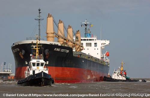
Payload_mass:
33622 tonneGross tonnage:
21205Service entry:
2011-01-01T00:00:00ZManufacturer:
Shin Kurushima Dockyard (Japanese shipbuilding company)
Details:
Last coordinates of the vessel:
UTC, 36.5658, -48.8539, course: 79, speed: 10.5UTC, 36.5977, -48.6664, course: 76, speed: 10.7
UTC, 36.6251, -48.5261, course: 76, speed: 10.6
2025-05-08 22:58:23 UTC, 36.6813, -48.1876, course: 79, speed: 10.8
Track of the vessel in the last 14 days